The following Google Earth images show the Dakota Bowl Watershed Forest

RC Headwaters Forest relation to WHA
Potlatch Valley 2013 Google Map
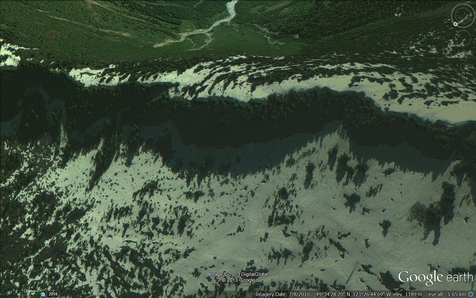
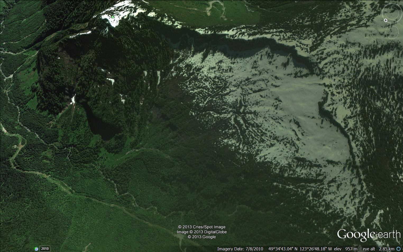
Mt. Elphinstone Peak and ridge line
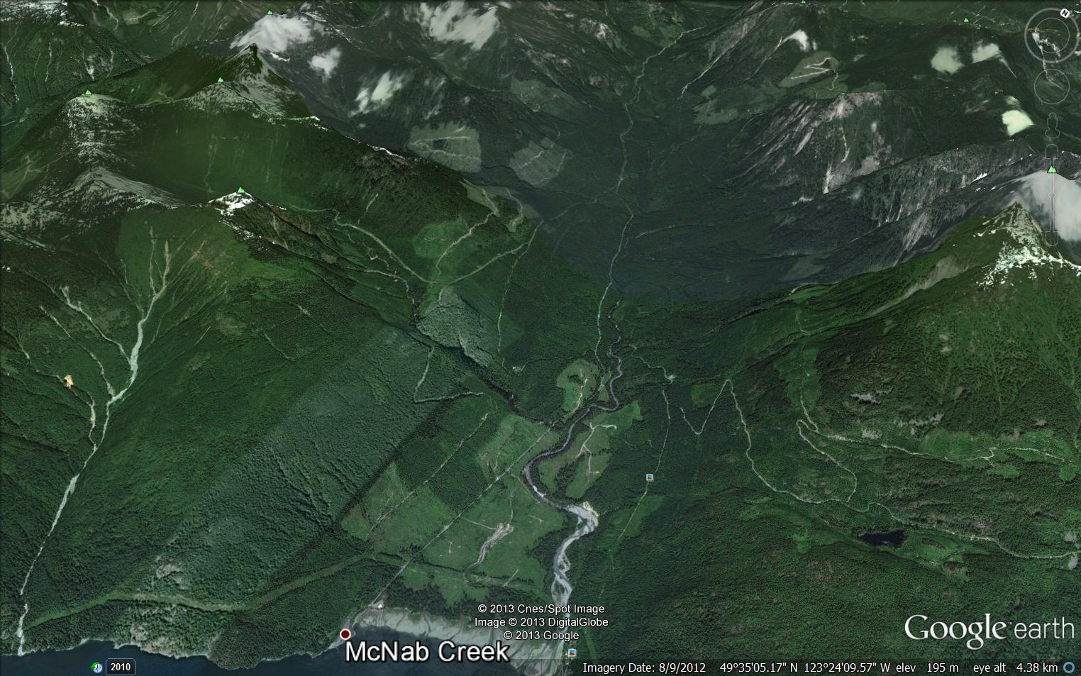
McNab and Box Canyon Valleys 2013 Google Maps

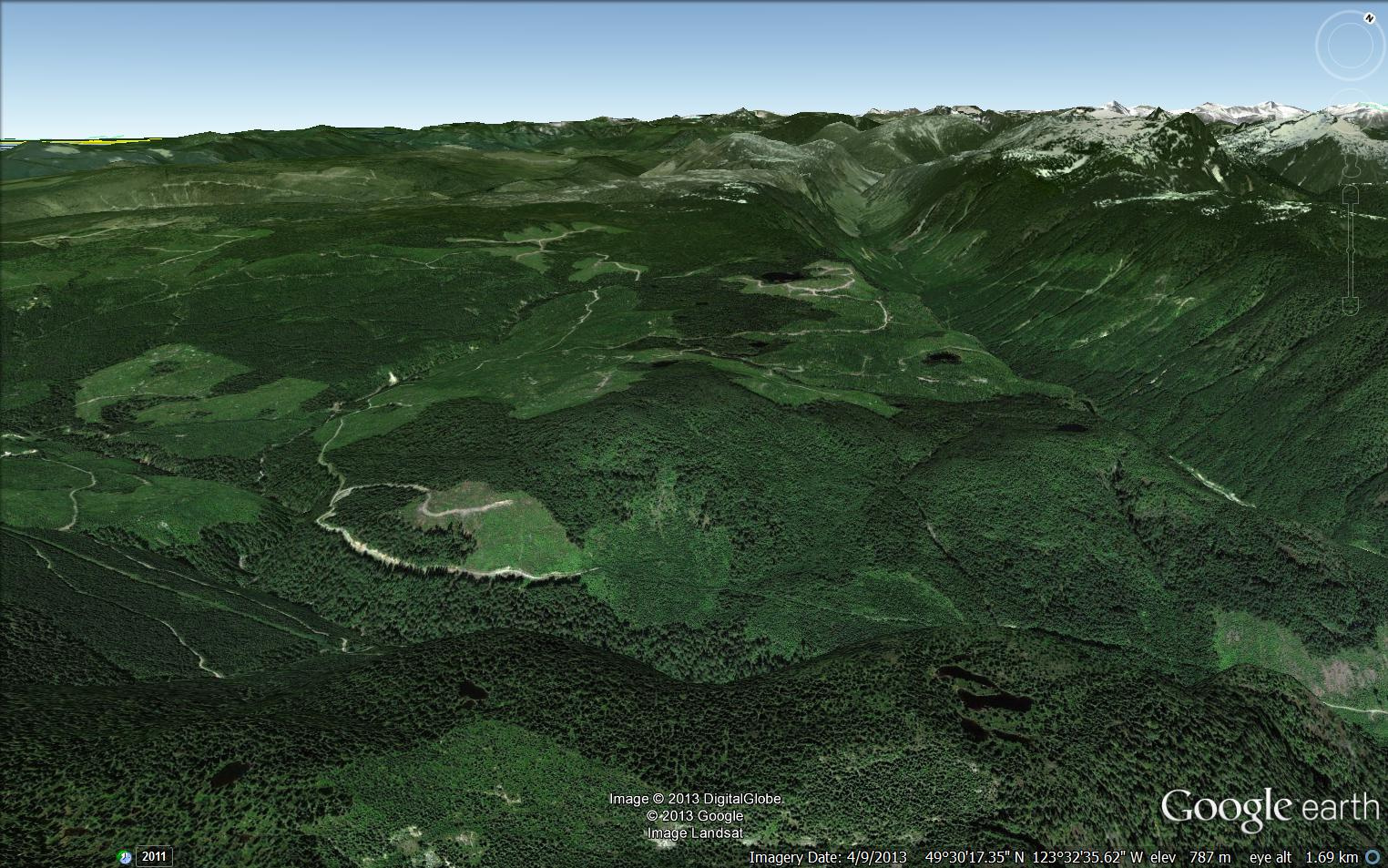
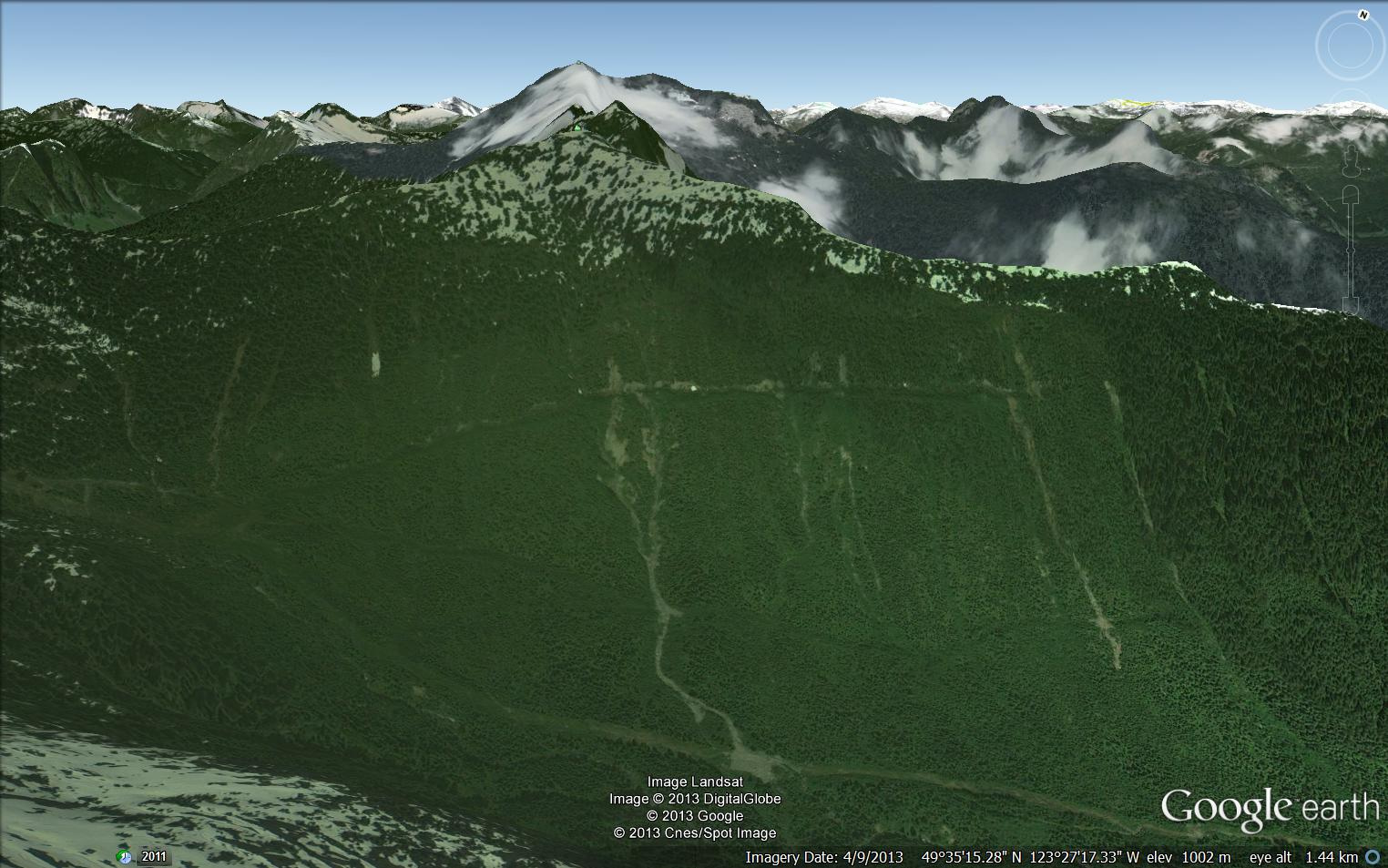
Elphinstone Ridge and N.Fork of Dakota Creek
Dakota Bowl Watershed overview Google map
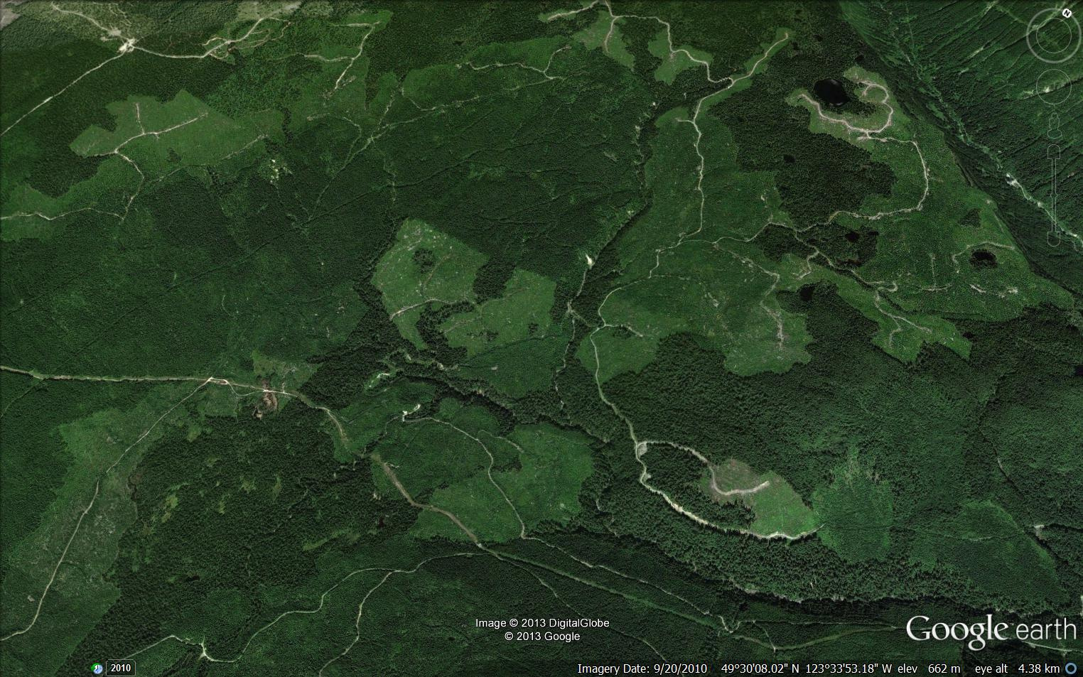
Dakota Bowl Watershed cutting
Dakota Bowl ridge BCTS blocks Google map Aug 2013

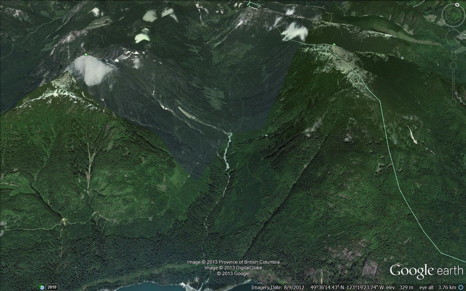
Dakota Bowl Cedar Forest in relation to surrounding area

Dakota Bowl Cedar Forest Aug 2013 Google Map 3

Dakota Bowl Cedar Forest Aug 2013 Google Map 2
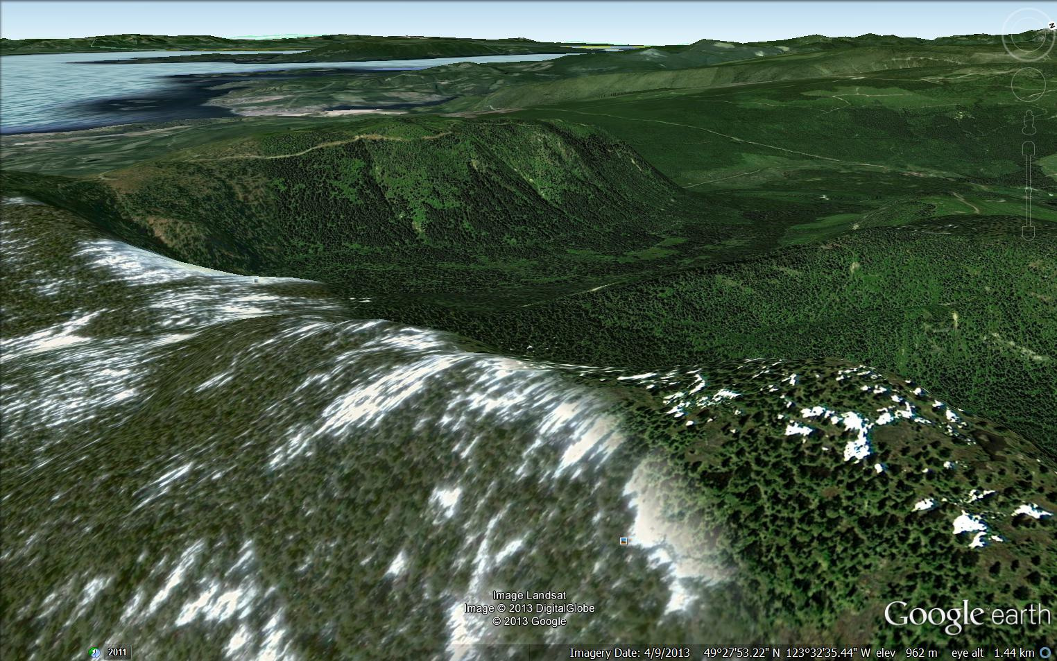
Box Canyon View 2
Box Canyon South View
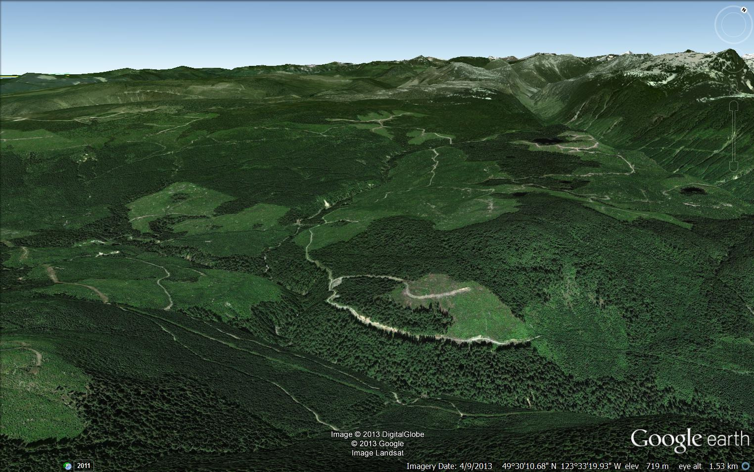
Big McNab Valley Clearcut