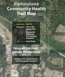
We are pleased to publish the latest version of the Sunshine Coast Community Health Trail Map v2 with a new trail head added.
To access click on the attached pdf map link below:
Elphinstone_Trail_map_Oct15_fnl
Directions:
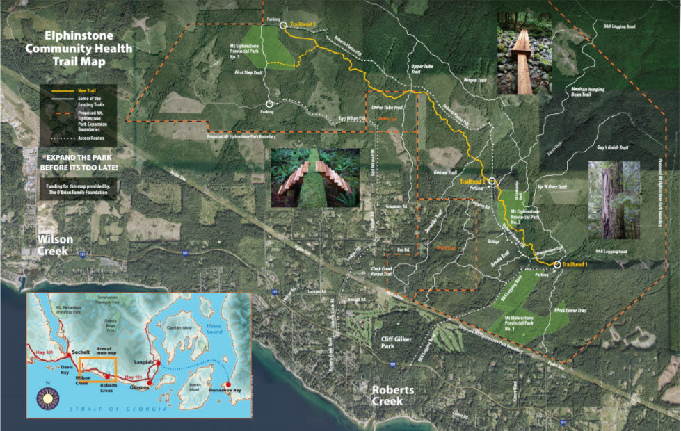
Trailhead #1: drive up B & K Rd (past powerlines) and keep driving in a north-east direction past the first turn-off (Roberts-Flume FSR).
Within 2-3 mins. begin looking for a pull-out on the right handside and park here.
Look for a Health Trail sign in parking area providing directions to trailhead.
The trailhead is found by walking up logging road (off B & K) abo
ut 2 mins. and looking for Health Trail sign on the left.
Trailhead #2: turn off B & K Rd at the Roberts-Flume FSR, traveling in a north-west direction.
Cross a bridge that goes over Roberts Creek, past an old gravel pit and follow road as it turns north.
From gravel pit travel approx. 2-3 mins. watching for Health Trail signage on your left.
Park above or below the sign and walk in.